Find the start you actually planned.
The published Glen River walk starts at Donard Park in Newcastle, County Down, at the southern end of town. Use the route publisher’s map to identify the approach, then follow signs and any local instructions on arrival. A search result for “Slieve Donard” can lead to a hotel, a mountain pin or a different trailhead rather than your intended starting point.
Before leaving home, save the exact start and the meeting arrangement with your group. If people arrive separately, choose an identifiable meeting place and allow time for equipment and a final weather check. Do not begin the day with one person looking for the others among several woodland paths.
Open the published route and start map
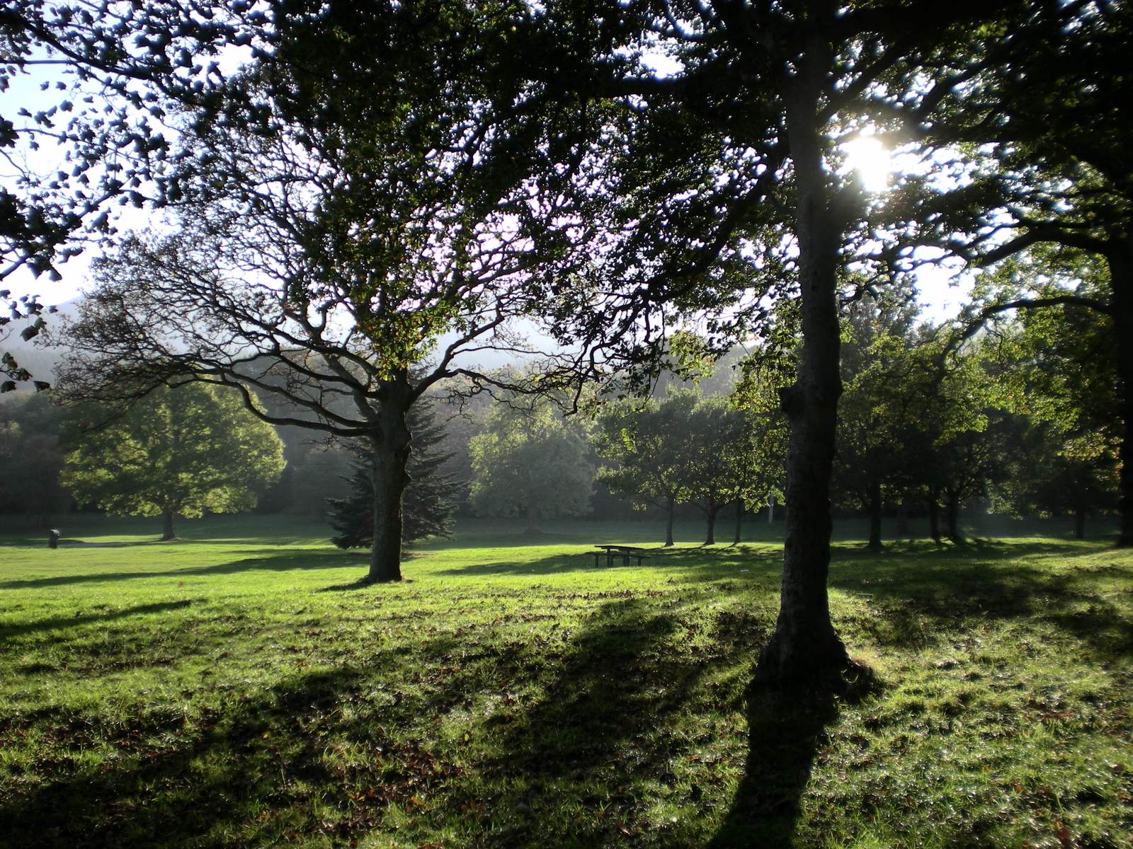
Arriving by car.
Plan for Donard Park, then check current parking information and signs. Availability, charges, restrictions and event arrangements can change; an old trip report is not a promise of a space or free parking. Leave time to use a suitable alternative if the intended area is full.
Park legally and leave access clear for residents, land managers and emergency vehicles. Do not convert a congested start into roadside obstruction. Keep any fallback consistent with your route: extra walking to and from a different parking place belongs in the day’s time and distance.
Use Newry, Mourne and Down District Council for current local information and the National Trust visitor page for mountain access notices.
Arriving by public transport.
Check your journey to Newcastle, County Down, with Translink. Search for your actual travel date and verify the arrival and departure stops, any changes, and the final useful return service. Timetables and seasonal services change, so this guide does not promise a particular bus number, frequency or fare.
The bus journey and the mountain walk have different endpoints. Allow for the walk between the stop and Donard Park, time to prepare, and a realistic return margin. Check the connection again close to travelling. If your climb is running late, hurrying over rough ground to catch a bus is not a good recovery plan.
Arrange a suitable fallback before you go, and make sure everyone knows it. Download useful journey information in case the phone signal or battery is poor when you need it.
Sort town essentials before the trees.
Newcastle is the practical place to organise food, drinking water and anything you have forgotten. Check current opening and facility information with the operator rather than assuming it will be available early, late or out of season. Do not rely on a mountain-side purchase or a building in the valley for shelter.
Use available toilets before the walk and follow responsible outdoor guidance on the mountain. Take all litter home, including tissues and food scraps. Carry what you need from the start; the river is not a guaranteed drinking-water supply.
For verified local visitor information, use the official Mourne, Gullion and Strangford tourism site. This guide avoids fixed opening hours, prices and availability claims that can go stale between visits.
Leave room for Newcastle afterwards.
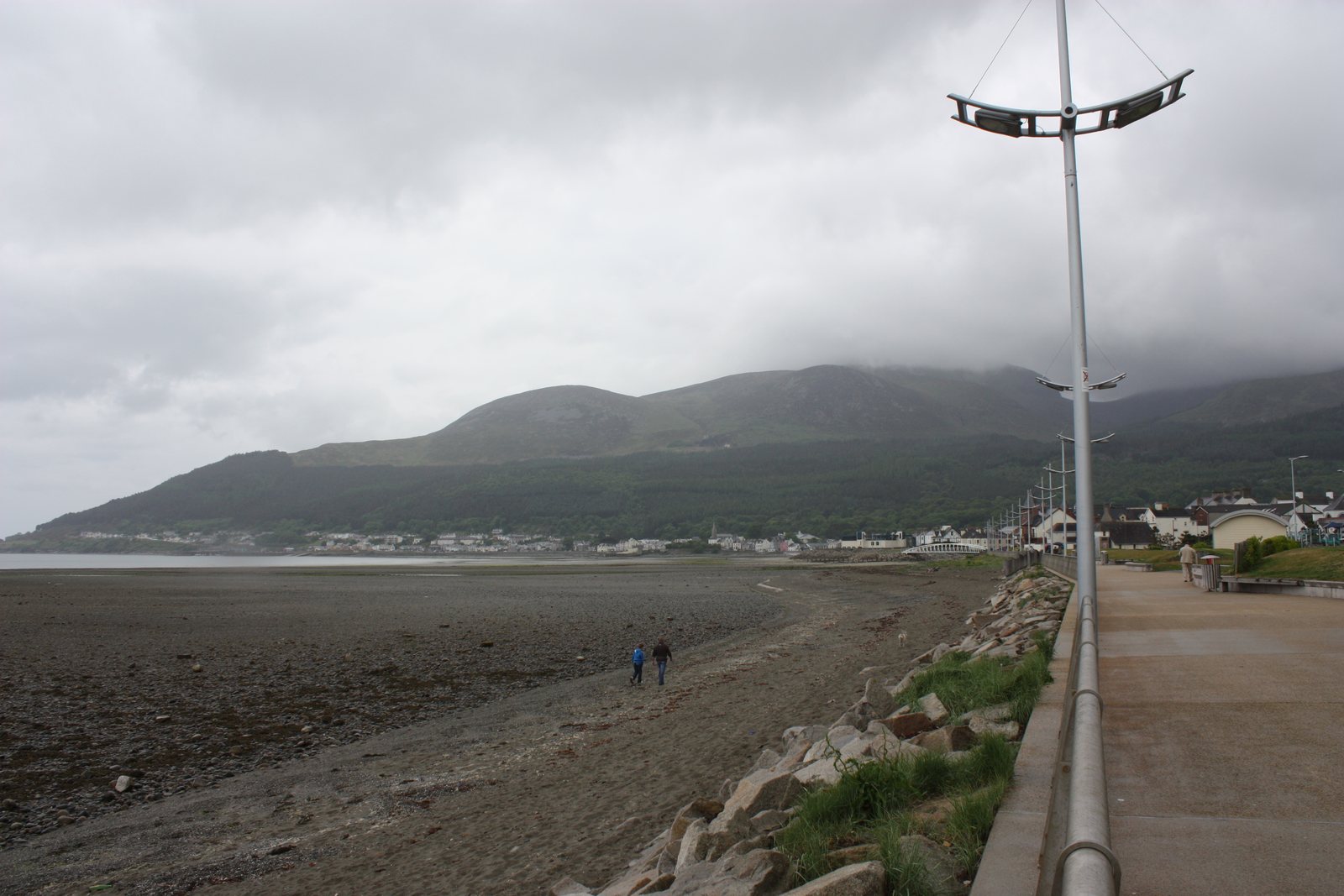
A little time by the sea gives the day a satisfying change of scale after the mountain. Choose a comfortable seafront walk, food or a rest according to how the group feels. Avoid making an inflexible booking the reason you rush the descent.
For a non-climbing companion, plan a complete town day with its own meeting place and transport rather than a long, uncertain wait. If weather stops the climb, that plan can become everyone’s day. The broader Newcastle guide is a useful next step for local options.
Accessibility and choosing a lower outing.
The summit route includes rough, steep mountain ground and is not a step-free outing. The availability of town parking or an accessible facility does not make the whole route accessible. Even a short woodland section can include gradients, uneven surfaces and wet ground.
If someone needs a particular surface, gradient, toilet or parking arrangement, check that exact requirement with the operator before visiting. Choose a named lower route or a suitable seafront outing on its own merits. Assess the group’s needs before choosing a summit target.
Sources & review notes
Editorial research reviewed 16 October 2026. These are source observations, not a live conditions report. Photographs have separate credits and dates.
Editorial review: 16 October 2026 · How we use sources