Granite began below the surface.
The British Geological Survey describes the Mourne granite complex as intrusions of magma around 56 million years ago. The magma cooled within the crust rather than erupting as surface lava. Donard is a granite mountain; calling it an extinct volcano gives the wrong picture of that origin.
The rock’s origin and the shape of the mountain are different questions. Granite tells you about molten material cooling underground. The exposed slopes, loose stone and river valley you see on a walk reflect what happened afterwards as rock was uncovered and the landscape changed. Avoid treating every rounded rock or hollow as evidence of a specific process you cannot identify.
The survey also describes older surrounding rocks altered by the intrusions’ heat, with examples in the Glen River area. You can enjoy the contrast in rock colour and texture without collecting specimens or leaving the route. Read the BGS account of the Mourne Mountains Complex for the geological detail.
Let the river change the scale of your walk.
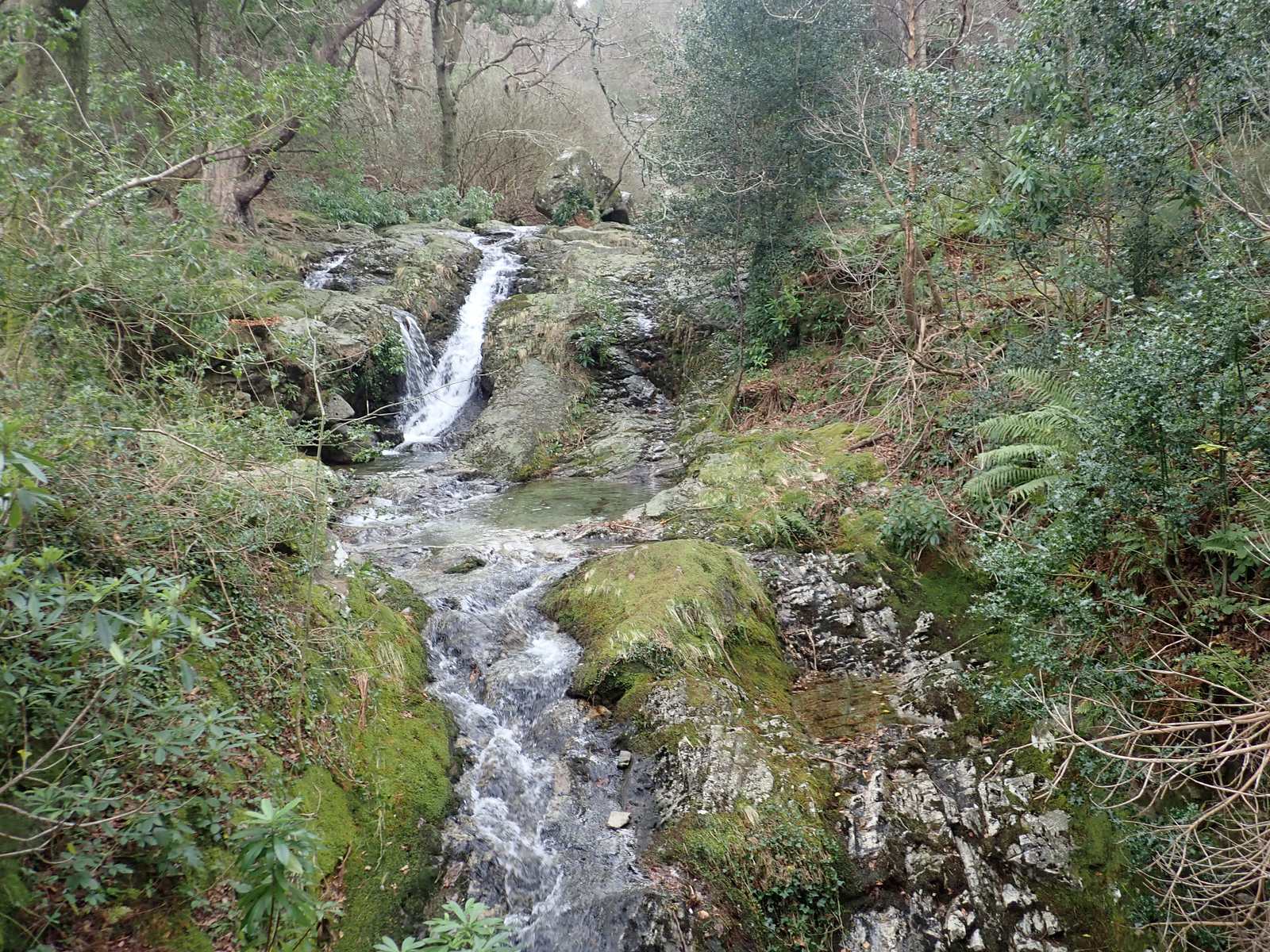
The Glen River links the wooded start with the open valley. In the trees, your attention may stay close: a cascade, a bridge, water moving around a stone. Above the woodland, the same valley helps reveal the relationship between the high slopes and the saddle ahead. That change of scale is one of the pleasures of this approach.
Observe from a stable place on the path. A photograph of water is not worth an unstable riverbank or slippery scramble. Heavy rain can change the character of a small watercourse, and clear-looking water is not proof that it is suitable to drink untreated. Carry your own supply and make conservative decisions around crossings.
The water story also continues beyond this valley. The Mourne Wall makes a catchment visible across mountain slopes. It is an unusually clear meeting point between the natural movement of water and the infrastructure built to use it.
The ground beside the path is living ground.
The National Trust’s conservation accounts describe upland heath and bog habitats, including heather and sphagnum. These are not empty margins around the “real” attraction of a summit. They are part of the mountain, with their own texture, colour and ability to hold water.
Slow down enough to notice changes without needing to name every plant. Look at how the vegetation differs between sheltered and exposed ground, how wet areas reflect the light, and where the path has spread into several parallel lines. A species photograph or an old wildlife list does not guarantee a sighting on your visit.
Leave plants and animals undisturbed. Keep a dog under close control, take all litter home and leave no food scraps. Do not introduce a flame or barbecue to the mountain. Responsible visiting matters most when the damage from a small action is easy to overlook.
Fire recovery and the long work of care.
The April 2021 wildfire damaged areas of Donard and Commedagh. In its dated recovery account, the National Trust describes habitat work, wildlife surveys and conservation grazing. Recovery is a process, not a reason to assume an area has returned to a previous condition.
The practical visitor response is simple: follow current signs and land-manager advice, avoid shortcuts, and do not interpret a regenerating patch as a more convenient place to walk. Livestock may be part of active management; give them room and follow the guidance on site.
See the National Trust recovery account. It describes work as reported, not the precise location of animals or the current condition of each slope.
Why staying on the path helps.
When walkers skirt wet or damaged sections, one line can become several. The National Trust describes this “braiding” in its path repair work. Stone construction and restoration try to concentrate foot traffic and protect the ground around it.
Keep to established paths where possible, avoid cutting corners and follow any temporary directions. Step aside thoughtfully when passing, rather than repeatedly trampling a soft edge. A freshly repaired surface may look conspicuous, but the surrounding worn ground helps explain why it was needed.
Read the Mournes path project for the land manager’s explanation. Its historic work dates do not establish a present closure or opening. Check current visitor information before your trip.
Sources & review notes
Editorial research reviewed 16 October 2026. These are source observations, not a live conditions report. Photographs have separate credits and dates.
Editorial review: 16 October 2026 · How we use sources