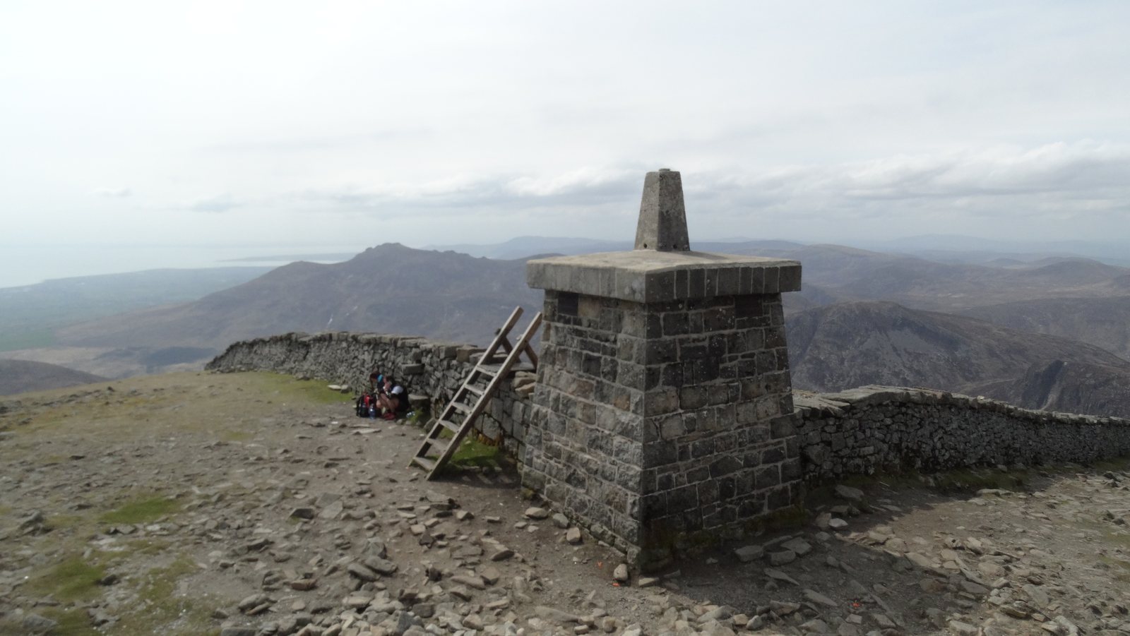
Several histories share the summit.
Look at Donard as a layered place. A summit cairn, a straight survey line and a water-catchment wall belong to different periods and different purposes. Seeing them together is part of what makes the climb interesting. The mountain has been a place of ceremony, devotion, measurement and practical engineering as well as recreation.
It helps to separate what survives, what is documented and what belongs to tradition. An ancient monument does not verify every later story told about it. A nineteenth-century survey use does not explain the original reason a cairn was built. The visible summit is the result of change, rather than an untouched scene from one moment in the past.
The Great and Lesser Cairns.
The National Trust identifies two prehistoric monuments on the summit: a Neolithic passage tomb in the Great Cairn, and the later Bronze Age Lesser Cairn. They are evidence of much earlier use of this high ground.
Think of a cairn here as an archaeological place, not a pile that needs another stone. Leave stones where they are, avoid building new stacks and keep the remains undisturbed. A short pause to notice their setting is more useful than trying to reconstruct their history from their present outline alone.
The National Trust’s history of Donard gives the archaeological dating and explains subsequent changes. See the summit guide for a practical way to approach the top.
The name, the saint and pilgrimage.
The mountain’s name is associated with St Domhanghart, anglicised as Donard. The story of a hermit using the summit belongs to religious tradition; it should be read separately from the archaeology. The National Trust records documented summit pilgrimage from 1645 into the nineteenth century.
That distinction makes the story richer. A place can acquire new meanings long after its first monuments are built. Later visitors may see devotion where an earlier community expressed something different. Present-day walkers add another kind of journey, without needing to flatten all those histories into a single origin story.
A mountain used to measure a country.
In 1826 the Royal Engineers used the summit cairns for triangulation ahead of the Ordnance Survey’s six-inch mapping. High ground that walkers value for its outlook also offered sight lines for measurement. That survey role is another reason the summit’s present form cannot be treated as entirely prehistoric.
Pause over the change in perspective: a summit is a destination when you approach it on foot, but it can also be one point in a much larger network. The history of mapping is a useful reminder to bring your own suitable map, rather than assuming a prominent feature always tells you how to return.
A cold store in the valley.
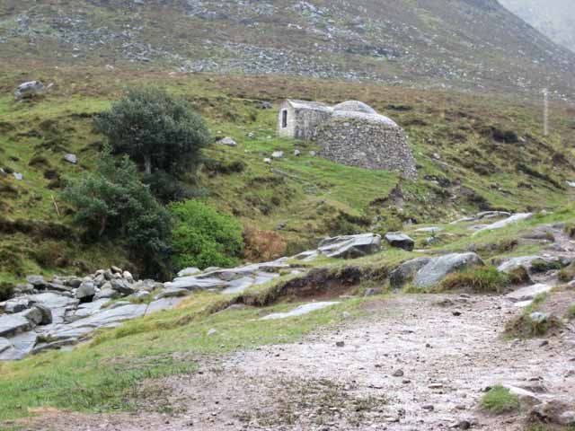
The domed ice house above the Glen River served the former Donard Lodge. The National Trust heritage record describes granite rubble construction and a brick dome built into the hillside. It is a nineteenth-century building, restored in the 1990s.
Its position invites a different kind of observation from a summit view. Notice the compact rounded form, the materials and the way the hillside surrounds it. Before electrical refrigeration, a purpose-built cold store made ice a resource that could be kept for later use. The building connects the mountain valley with the domestic life of an estate below.
Published accounts differ on precise construction and restoration dates. The National Trust heritage entry gives about 1840 and 1996–97; this guide uses the broader period. Do not assume access to the interior or use the structure as a climbing feature.
The Mourne Wall: a boundary built for water.
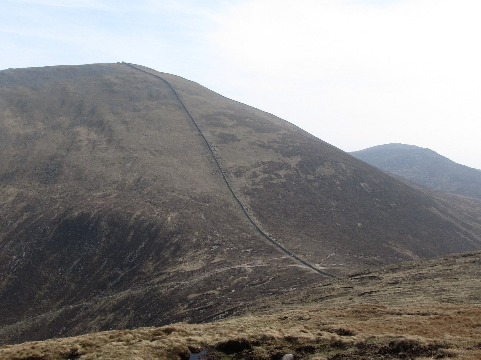
The Belfast Water Commissioners built the Wall between 1904 and 1922 to mark and protect a 9,000-acre catchment. NI Water describes a 22-mile granite structure associated with the Silent Valley and Ben Crom water supply.
For a Glen River walker, the Wall is first a landmark at the saddle and beside the final ascent. Its purpose extends far beyond that one slope. Follow its line with your eye and you begin to see the mountain as part of a system collecting water, rather than a collection of separate summits.
NI Water reported completing a second phase of repairs in March 2024. That dated engineering work tells you about the effort of caring for the structure; it is not a statement that every section is undamaged or accessible today. Read NI Water’s restoration account. Respect the masonry and use established crossings where provided.
Visit with a little historical care.
Leave the stones, structures and any objects you find in place. Do not add names, move masonry or build a new cairn. Take photographs from sound ground without using a monument as a platform. The interesting thing to bring home is the connection between these places, not a physical piece of them.
For the next part of the story, explore the rock and habitats beneath these human landmarks. To recognise them during a walk, use the Glen River stage guide.
Sources & review notes
Editorial research reviewed 16 October 2026. These are source observations, not a live conditions report. Photographs have separate credits and dates.
Editorial review: 16 October 2026 · How we use sources